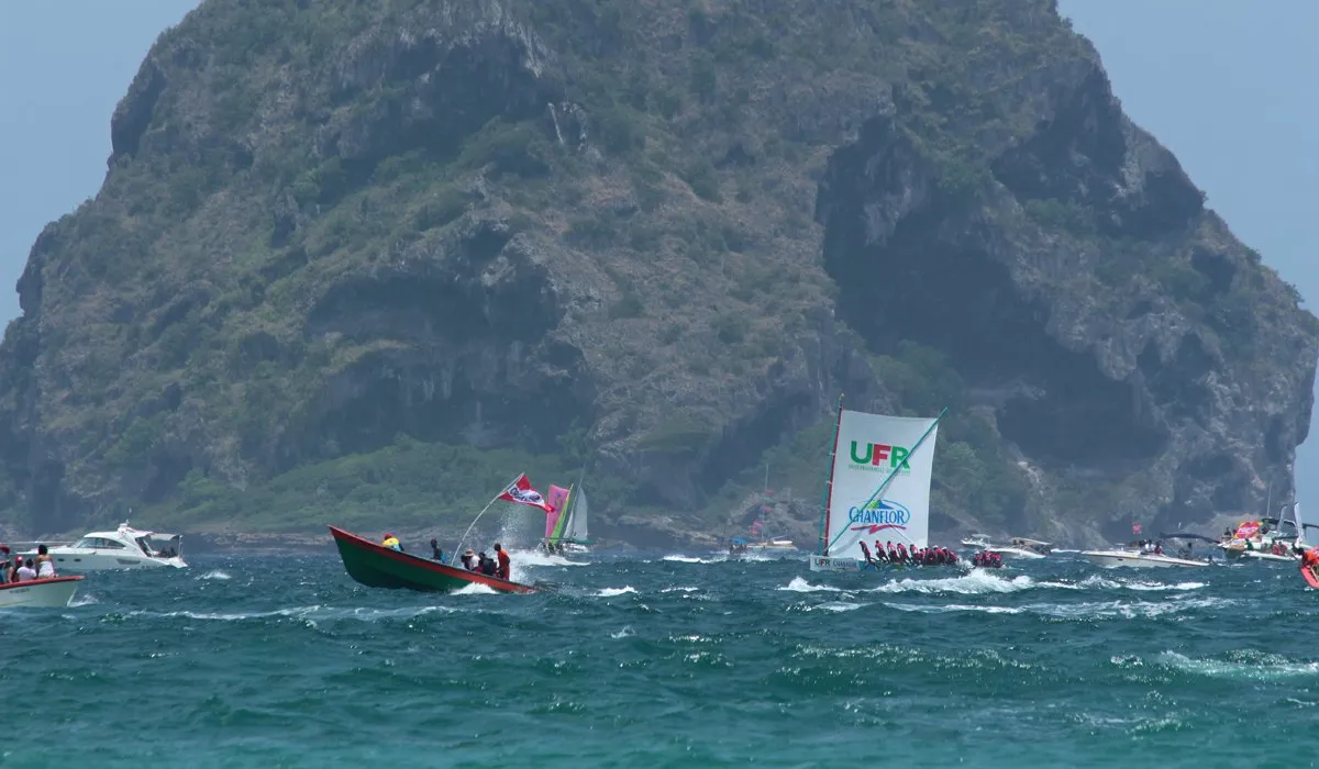
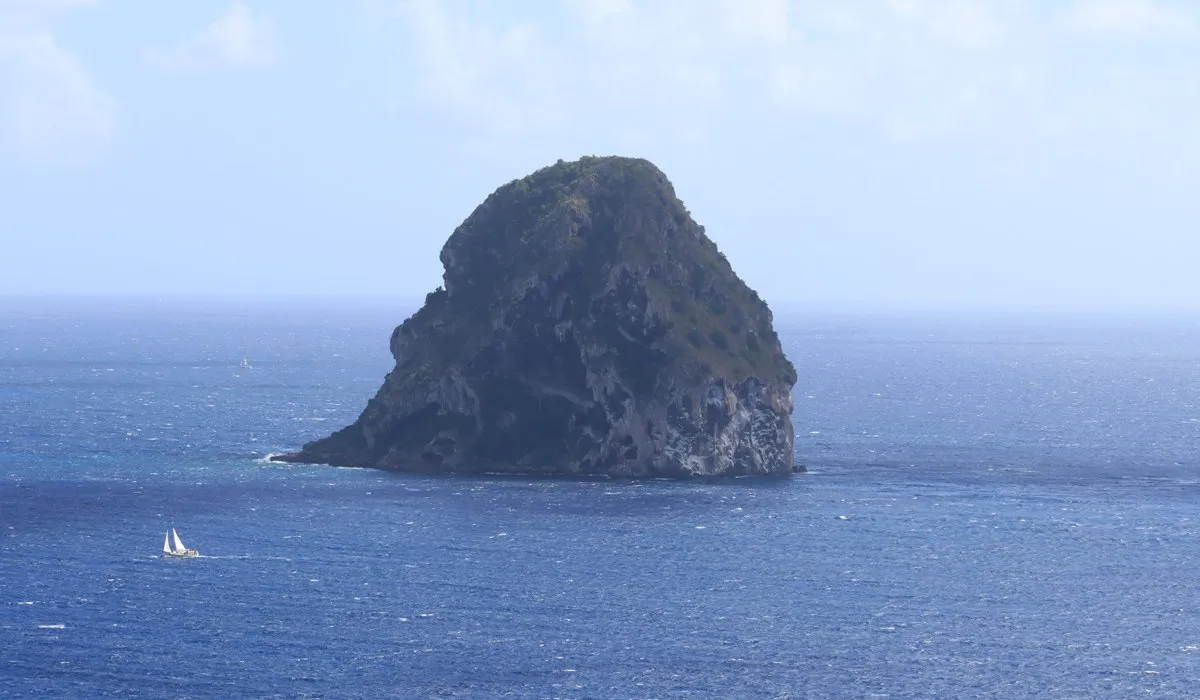
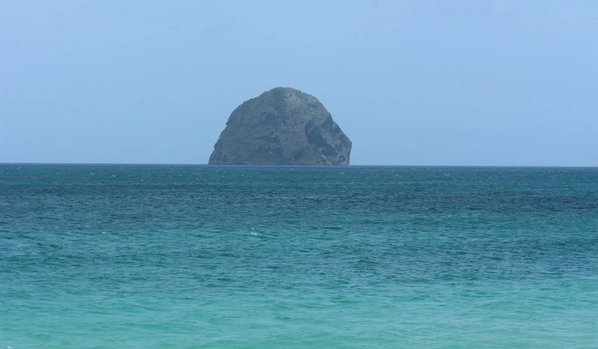
Diamond Rock

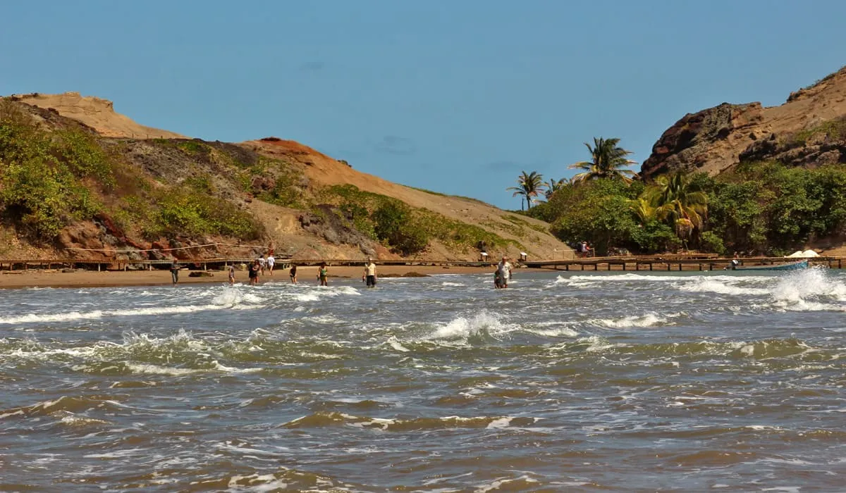
One of the top must-see attractions while visiting the island is the Rocher du Diamant, called in English Diamond Rock. It is a small uninhabited island located in the town that inherited its name. It bathes in the Caribbean Sea. It is located 3 km (1.9 mi.) away from the Pointe du Diamant.

It is called a diamond because of its gem-like shape after it has been cut.

It rises to 175 meters above sea level.

It is of volcanic origin and is believed to have appeared almost a million years ago.

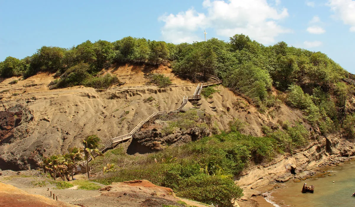
The Rocher du Diamant is covered with bush and is not accessible due to its size.

It also marks the history of Martinique. Object of covetousness of the English who wanted to use it to visualize and keep an eye on the area, the French fought triumphantly on many occasions to keep the jewel attached to the island of Martinique and not to that of St. Lucia, then an English colony.

In January 1804, the English seized the Rocher and installed 5 anons at its summit. The French troops try to recover the islet for several months, without succeeding. Following a new attack by French forces, the English resigned themselves to leaving the islet to the French on June 2, 1805.

In terms of climate, like many islets surrounding the island, the weather conditions are different from those experienced in Martinique. Indeed, the sunshine is more important there, the precipitation is less there, and the period of seasonal drought is longer.

Note that the Rocher du Diamant is the place of residence of the endemic snake of Martinique called Couresse de la Martinique. The sources remain unclear whether this snake is still present there or has completely disappeared.

Photo gallery
Rocher du Diamant
Rocher du Diamant
Rocher du Diamant
Rocher du Diamant
Rocher du Diamant
Rocher du Diamant

Îlet Chevalier

Îlet Chevalier is one of the best known in Martinique. It is one of eleven islets of St. Anne, the town that has the most. This is one of the most visited islets in Martinique.

Îlet Chevalier is a former small volcano to the rocky terrain of Strombolian type. It is a natural paradise of some hundreds of meters long as wide. Located on the east coast of the peninsula of Sainte-Anne, facing the Atlantic, it is well protected by a coral reef. It has a rocky relief not very high (24 meters maximum) but steep with a beautiful sandy beach bordered by a dense vegetation and some majestic coconut trees.

Îlet Chevalier has enormous asset to a green and seaside tourism. Indeed, a well-marked footpath allows both to go around the islet that the crossing from side to side, and observe the heterogeneous vegetation and varied wildlife that exists there.

Three white sand coves (from North to Northeast), its water fairly calm and clear, Îlet Chevalier also offers him a pleasant space for relaxation.

Îlet Chevalier remains an area degraded by human activity (overexploitation of the Islet for tourism, human activities on the site, removal of species such as orchids and cacti, mineral fragments or all kinds of little memories natural). All this disturbs and impoverishes the richness of the site.

Moreover, despite the interdiction camping, visitors implant tents in defiance of environmental safeguard rules. Despite the presence of dirt collecting bounds, tourism operators are quick to dump them at sea garbage of all kinds (food, plastics of all kinds), these wastes are then found on the shores of the islet.

You can get there via the Taxi du Cap shuttle to the Cap Chevalier pontoon. The tour price is €4 for adults and €2 for children. Attention after 4pm, it is not possible to visit the islet. At 6pm, all occupants must have left the islet. Navigation is short because only 500 meters apart Cap Chevalier of the islet.

Mangrove of the baie de Génipa

The mangrove of the Baie de Génipa is mostly located in the commune of Ducos, but also partly in the towns of Rivière-Salée and Trois-Ilets. With 1,200 hectares, it represents 65% of the mangroves in Martinique. This ecosystem provides an excellent interface between land and sea. It includes surface water, groundwater, and marine water, each of which carries solid or dissolved matter: salts, nutrients, organic matter, or pollutants.

Three protected plant species have been recorded in the Bay of Génipa: Oncidium ceboletta, Ammannia coccinea, and Zygia latifolia, an endemic species recently identified: Aechmea reclinata.

The fauna is diverse and this rare species. Six indigenous species, and/or endemic amphibians and reptiles, are identified in the study area. The Gros Ilet and Petit Ilet present a significant interest in terms of conservation of heritage species in the sector.

The presence of protected and endemic species justifies regulatory protection, a ranking of the site, and its recognition as a wetland of international importance.

The Mangrove Bay has an avifaunal diversity (animal wildlife birds) outstanding, with 93 species of birds recorded, including 9 endemic to the Lesser Antilles and one endemic to Martinique. Other vulnerable species in danger of extinction are being observed. Sedentary species are mainly linked to the land domain, they inhabit most of the forest areas or forest edges and the dry savannah tree. This site is the largest migratory staging of Martinique for waterbirds. It is a breeding, feeding and passage for migratory birds.

The whole area is of major interest and is identified as important are for the conservation of birds or crabs.

To get there, you can get to the roundabout of Cocotte neighborhoods and Canal Ducos and continue to the end of the quarter, via Génipa neighborhood near the shopping center, but also the Trois-Ilets neighborhood just before Vatable. Trips canoeing are offered.

Tombolo

The "Tombolo" is a broad band of sand formed by ocean currents that connects Sainte-Marie islet to the town on foot. Beware though, it is only during Lent, the warm season (December to April) that it is possible.

The Tombolo is an Italian word which means a sand spit built by littoral drift. This construction related to a climatic phenomenon can only be made between two points whose depth does not exceed 10 meters. This achievement is due to the influence of the Bermuda High. During the rainy season, the tombolo is automatically destroyed.

Sainte-Marie islet plays an essential role in Sainte-Marie. It protects against swell during periods of high sea. In the past, he served as an observation post with two guns during the wars against the English. Until the 40s, a railway was used to transport goods between the city and the islet.

So if you want to go on the islet, opt for a stay in Lent to go through the Tombolo.

Photo gallery
Îlet Sainte-Marie
Îlet Sainte-Marie
Vue rapprochée de l'îlet Sainte-Marie
Chemin séparant l'îlet Sainte-Marie des côtes
Vue rapprochée de l'îlet Sainte-Marie
Îlet Sainte-Marie
Îlet Sainte-Marie
Chemin séparant l'îlet Sainte-Marie des côtes
Vue rapprochée de l'îlet Sainte-Marie