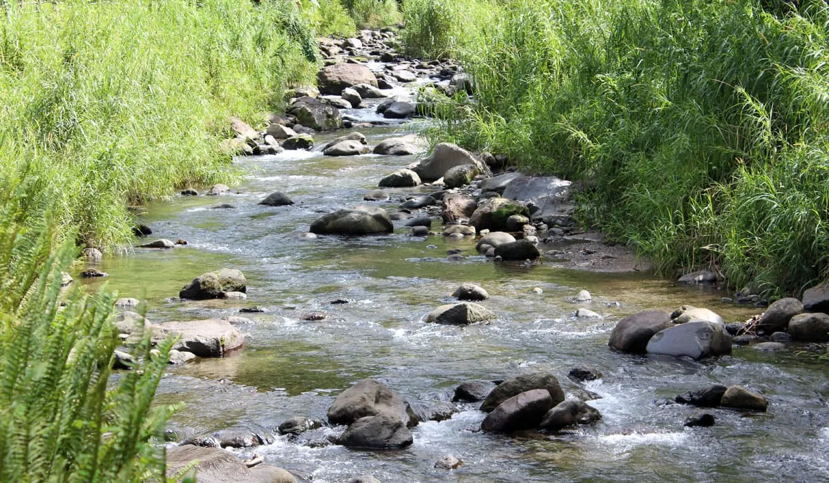
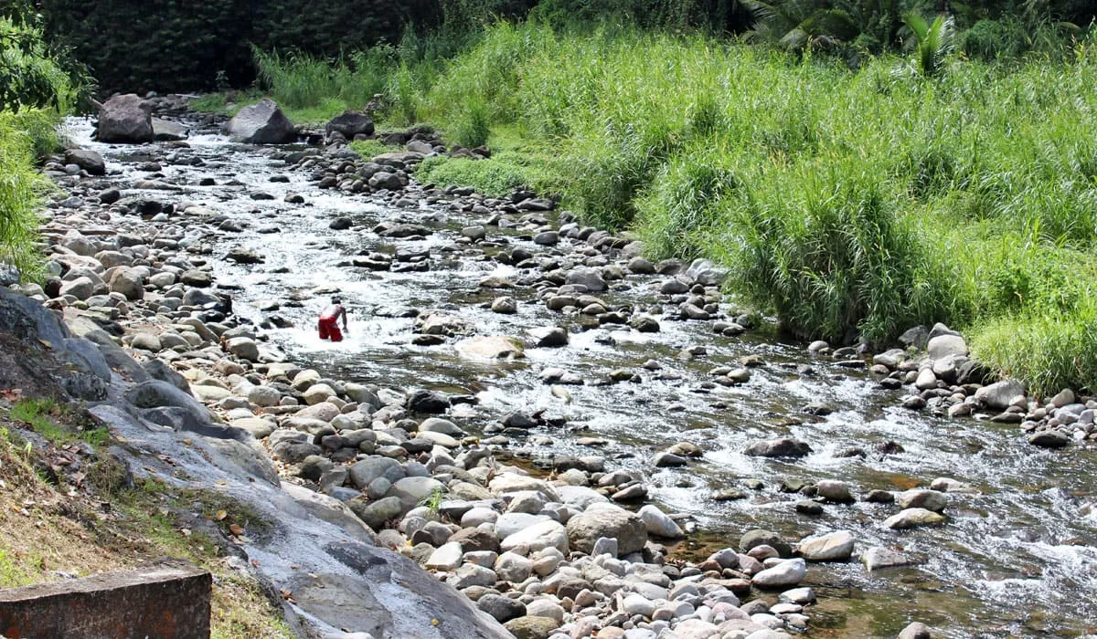
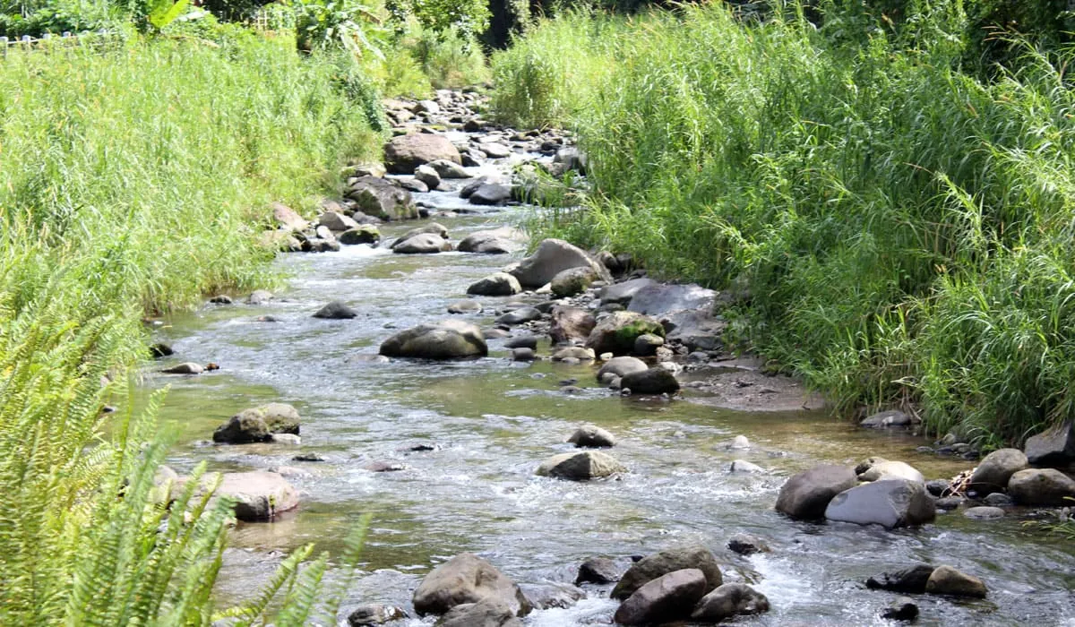
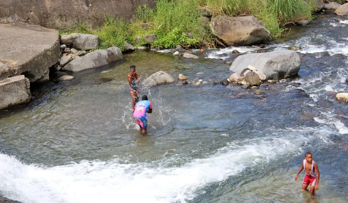
The grande rivière

The Grande Rivière is the number 1 tourist attraction in the town of Grand'Rivière in the north of Martinique. It owes its name to its length (5,766 meters). Indeed, it is also the longest river in Martinique.

If you want to enjoy an invigorating river bath, this is the ideal place to go. If you go to the village in the municipality, you will see the point where the river flows into the often rough sea.

Benches and tables are available for picnics, but we recommend the many nearby restaurants for dining. You can enjoy meals featuring local shellfish (lobsters, shrimp, crayfish) caught off the coast of the Grande Rivière.

To get there, head towards the North Atlantic, passing through Basse-Pointe and Macouba to reach the town of Grand'Riviere. At the entrance to the town, you will cross a bridge over the river below.

Photo gallery
La Grande Rivière
La Grande Rivière
La Grande Rivière
La Grande Rivière
La Grande Rivière
La Grande Rivière
La Grande Rivière
La Grande Rivière
People swimming in the Grande Rivière
La Grande Rivière
La Grande Rivière

Les Gorges de la falaise

The Gorges de la Falaise is a walk along a river nestled between two enormous cliffs. The Gorges de la Falaise are located in a densely forested area.

At the end of this walk, you will reach a true natural paradise with magnificent waterfalls and crystal-clear waters. The roar of the falling water is impressive.

The walk of about one kilometer to reach the waterfalls is fairly easy, although it is advisable to be well-equipped (hiking boots).

However, it is possible to rent shoes on site (€2).

Remember to bring your swimsuit and towel so you can enjoy a swim. The site is open every day from 8:00 a.m. to 5:30 p.m.

However, for safety reasons and in case of bad weather, the site is sometimes closed.

You can check in advance by calling +596 596 53 36 53. There is an admission fee.

Allow around ten euros per participant (€7 for adults, €4 for children).

To get there, go to the town of Ajoupa-Bouillon and follow the fairly simple signage.

The "saut gendarme"

The “Saut Gendarme” waterfall owes its name either to the fact that it was a popular spot for gendarmes riding up to Saint-Pierre to cool off and water their horses, or to the fall of a gendarme.

It was also the place where gendarmes hid in order to catch looters who came to plunder the town of Saint-Pierre, which was in ruins following the eruption of Mount Pelée.

This is a pleasant waterfall in a natural setting. The continuous waterfall, approximately 10 meters high, offers a refreshing dip to all hikers visiting the site.

A table and benches are available for those who wish to picnic. A walk to Mount Pelée is possible via the Trianon or Morne Calebasse road.

However, to hike there, it is strongly recommended that you be in good physical condition and well equipped. It is a very popular place with tourists and the local population.

To get there, it is advisable to follow the signs for Fonds-Saint-Denis. After driving along a steep road, signs will direct you to the “Saut gendarme” waterfall. There is a small parking lot where you can park your vehicle.

Photo gallery
“Saut Gendarme” waterfall
“Saut Gendarme” river
“Saut Gendarme” waterfall