Toboggan du Carbet

The Carbet Waterfall is a little hidden gem in the heart of the lush forest in the town of Carbet. It's not directly accessible by road, so you'll need to walk for 45 minutes to get there. But the hike is definitely worth it.

It gets its name from the fact that visitors can slide down its bed until they reach the pool.

To get there, head towards the former Aqualand water park. There is a small parking lot nearby where you can park your car before continuing on foot. Once you have crossed the small bridge, turn right and follow the river to reach the Toboggan. Arrows on the rocks will show you the way so you don't get lost.

Be sure to wear good athletic shoes that will allow you to walk on wet, soggy, and even slippery rocks.

Savane des Pétrifications

Near the very famous Salines beach in the town of Sainte Anne, is the Savane des Pétrifications at the southern tip of Martinique. It is an old dry marsh where there were once many pieces of wood, sometimes fossilized trees.

However, looting has removed these geological remains and the place has become a land of hiking visitors coming to admire the surprising landscape.

The area is almost desert and contrasts with the rest of the landscape of the islet. The Savane des Pétrifications is located on the site of a very old volcano of which the Morne des Pétrifications which rises to 119 meters is one of the remains.

The bare land of this desert is strewn with blocks of yellow, red or black polychrome jasper, giving the landscape an astonishing lunar aspect.

It is located in front of the Table du Diable, a huge rock that has risen from the waves a few cables offshore and the subject of many legends.

Note that the Savane des Pétrifications is with the Presqu'île de la  Caravelle (Caravelle Peninsula) one of the oldest parts of Martinique and that these two original parts were linked gradually by successive volcanic eruptions to form the current Martinique .

The Savane des Pétrifications is one of the stages of the "Trace des Caps" hike, a path that runs along the southern coast of Martinique and is a site classified by the Parc Naturel régional of the island.

Photo gallery
Panneau de la randonnée pour se rendre à la Savane des Pétrifications
Savane des Pétrifications

Presqu'île de la Caravelle

The Presqu'île de la Caravelle (Caravelle peninsula) is a natural area of Martinique located on its "arm" to the east, on the Atlantic side. In a few figures, the Caravelle peninsula is 12 km long and the highest point, the Morne Pavillon with a height of 189 meters.

From a geological point of view, it is the oldest part of Martinique with the region of Sainte Anne. It is a region which is characterized by its many sugar cane fields, its beaches (Anse L'Étang, Anse de la Brêche, Anse Bonneville) and its nature reserve managed by the Parc Naturel Régional de la Martinique. It is a protected site where dry savannah and mangroves coexist, site where crabs and tarantulas reproduce in the area.

This arm of land juts out into the Atlantic, which outlines rugged coasts. The Caravelle peninsula, which is considered by many to be one of the most beautiful sites on the island, offers various activities and places that are worth seeing.

In addition to the beaches mentioned above, it is also on the Presqu'île de la Caravelle that you can visit the ruins of Château Dubuc, another site managed by the Parc Naturel Régional de la Martinique where you can go hiking.

Two signposted circuits are present there. The longer one (3h30) will take you along the beautiful coast of the tip of the peninsula passing near the Caravelle lighthouse while the other shorter (1h30) will take you to discover the mangrove halfway between land and sea.

To get there, direction the town of Trinité then follow the direction towards Tartane and then Château Dubuc. This is the starting point for the two hikes.

Photo gallery
Panneau indiquant le départ de la randonnée longue Grand Sentier
Départ de la randonnée longue Grand Sentier
Parcours de la randonnée

Cascades Didier

Didier's waterfalls are a wonderful tropical paradise that you will find after a hike through the natural environment. Here you will see three different waterfalls where you can enjoy swimming in the cool, clear waters.

While access to the first waterfall is easy, the second and third are more difficult to reach.

The site is accessible 24 hours a day, but given the condition of the trails, which can be slippery in bad weather, it is best to visit during daylight hours and on sunny days. In case of rain, cancel your visit to the site as the consequences can be disastrous. A group of hikers was swept away by the waters, and several deaths were reported.

To get to the Didier waterfalls, head towards Fort-de-France towards Cluny, which is located at the Vietnam Héroïque roundabout. At the roundabout, turn right towards “Didier” and you will be on the road to Didier. Then just continue straight on the D45 for several kilometers. You will then pass through the tunnel.

Continue straight ahead until the end, which is a dead end that serves as a fitness trail where joggers train. At the sewage treatment plant surrounded by barbed wire, park your car to begin the hike, which takes about 20 minutes.

Bring a flashlight, a swimsuit, and athletic shoes.

Canal des esclaves

The Canal des Esclaves (slaves canal) also called Canal de Beauregard is a place to hike on the heights of Carbet to the Fonds-Mascret neighborhood of Fonds-Saint-Denis. Built in 1760, it owes its name "Canal de Beauregard" to the man who had the idea of ​​conception, Mr. Beauregard then was subsequently appointed Canal des Esclaves to honor the men who carried on their backs stone for its construction.

It was once a vestige of the economic life of the 18th century. Its main purpose was to supplement traditional energy sources used hitherto namely windmills and animals mills. It was also used to carry water from the river Carbet to the Houses of the Caribbean Coast and so irrigate crops. Today is a walk of nearly 7km in a splendid natural setting.

It is a place to hike a 3.5 km length each way. Hiking is possible all year round but just try to avoid doing the wet weather. You can choose to start your hike either Carbet or in Fonds-Saint-Denis.

While safe, this ride is not recommended for those prone to vertigo, as the coping (cemented band) of the channel on which it is circulating in some places wide 30cm only overlooking ravines over 100 meters. The narrow path requires walkers to follow in single file. Throughout the tour, you will be immersed in the natural environment with tropical flora and fauna such as small crabs harmless.

Do not forget to wear sneakers and something to eat if you intend to carry the entire hike. Your camera will allow you to take great photos due to different views offered by this hike as the Pitons of Carbet.

Photo gallery
Parcours du Canal des Esclaves

Mangrove of the baie de Génipa

The mangrove of the Baie de Génipa is mostly located in the commune of Ducos, but also partly in the towns of Rivière-Salée and Trois-Ilets. With 1,200 hectares, it represents 65% of the mangroves in Martinique. This ecosystem provides an excellent interface between land and sea. It includes surface water, groundwater, and marine water, each of which carries solid or dissolved matter: salts, nutrients, organic matter, or pollutants.

Three protected plant species have been recorded in the Bay of Génipa: Oncidium ceboletta, Ammannia coccinea, and Zygia latifolia, an endemic species recently identified: Aechmea reclinata.

The fauna is diverse and this rare species. Six indigenous species, and/or endemic amphibians and reptiles, are identified in the study area. The Gros Ilet and Petit Ilet present a significant interest in terms of conservation of heritage species in the sector.

The presence of protected and endemic species justifies regulatory protection, a ranking of the site, and its recognition as a wetland of international importance.

The Mangrove Bay has an avifaunal diversity (animal wildlife birds) outstanding, with 93 species of birds recorded, including 9 endemic to the Lesser Antilles and one endemic to Martinique. Other vulnerable species in danger of extinction are being observed. Sedentary species are mainly linked to the land domain, they inhabit most of the forest areas or forest edges and the dry savannah tree. This site is the largest migratory staging of Martinique for waterbirds. It is a breeding, feeding and passage for migratory birds.

The whole area is of major interest and is identified as important are for the conservation of birds or crabs.

To get there, you can get to the roundabout of Cocotte neighborhoods and Canal Ducos and continue to the end of the quarter, via Génipa neighborhood near the shopping center, but also the Trois-Ilets neighborhood just before Vatable. Trips canoeing are offered.

Saut Babin

Located near the Gorges de la Falaise site, Saut Babin is a true natural paradise. It features a river and pools of exceptionally clear, transparent blue water overlooked by a waterfall.

Very difficult to access, the site has long been closed due to its difficult access, the potential presence of snakes, and pollution from the Capot River. It has been off-limits for years and is not maintained.

Be careful when visiting and wear hiking boots. After walking along a very steep forest trail, you will finally arrive at a hidden gem that is little known locally. Don't forget your camera!

To get there, head towards the town of Morne-Rouge, then follow the N3 road towards Ajoupa-Bouillon. Before entering Ajoupa-Bouillon, turn right towards Grande Savane. You will then arrive at the Vieux Coco neighborhood. You will arrive at the entrance.

Please note that the site is currently closed to the public.

Anse Lévrier

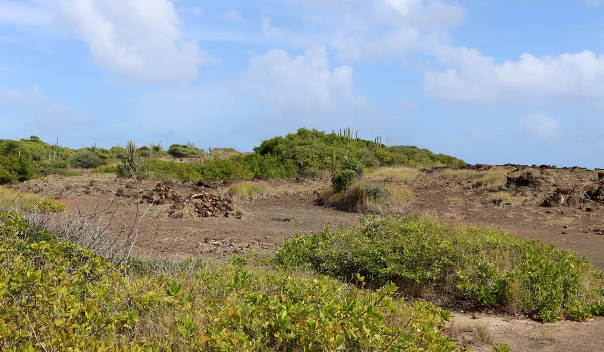
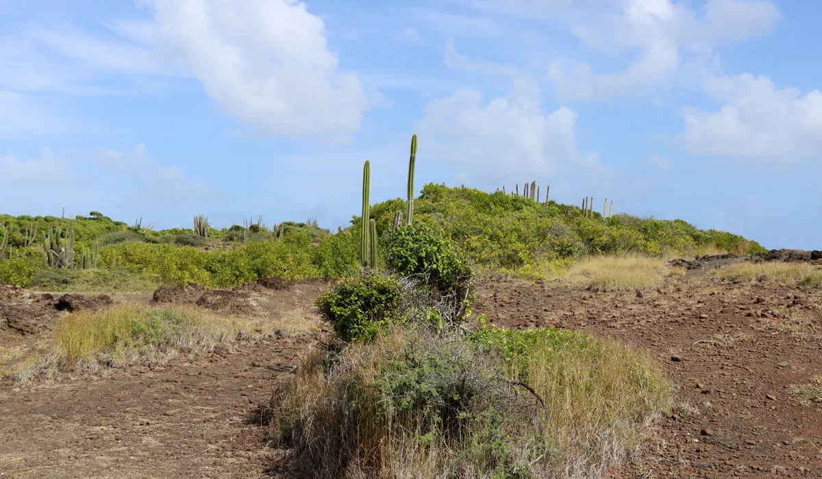
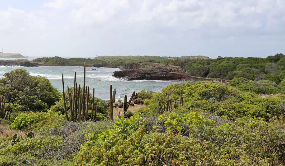
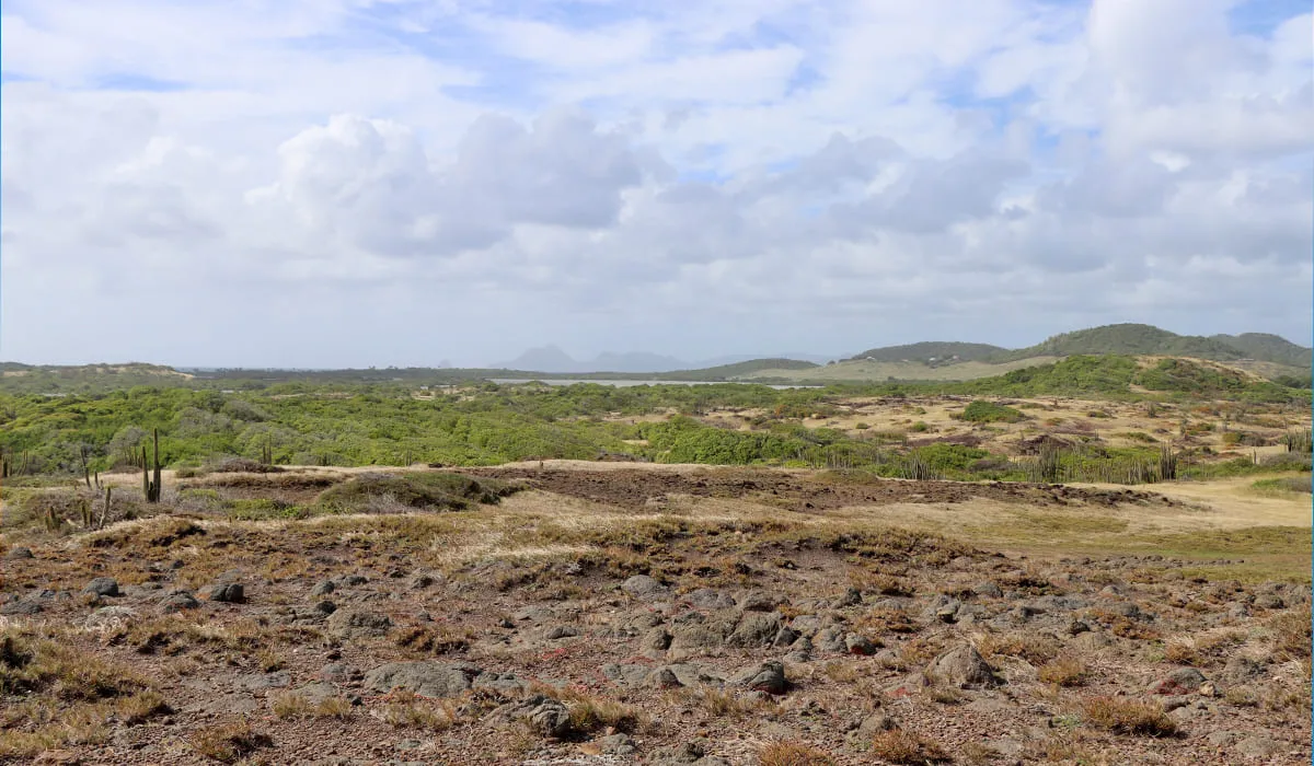
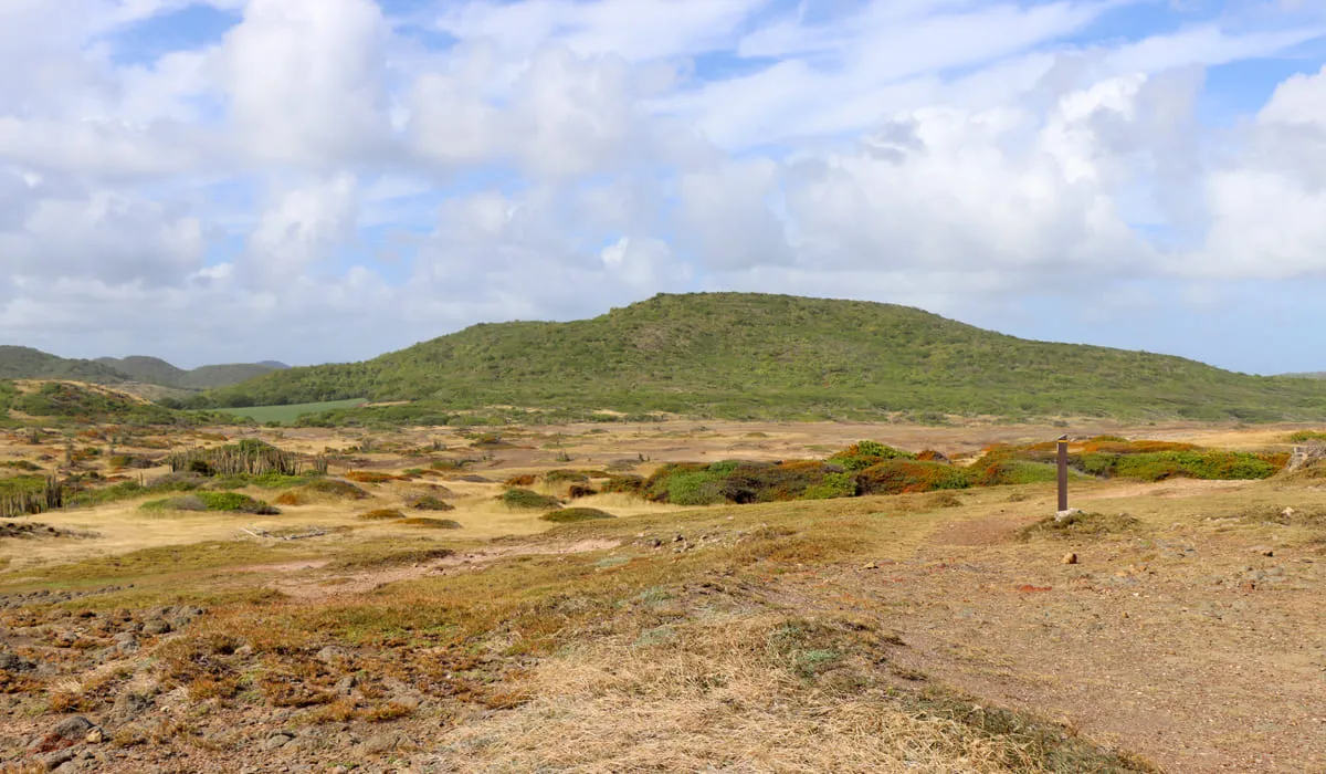
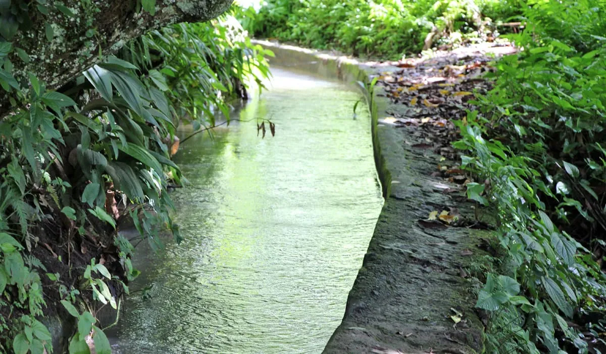
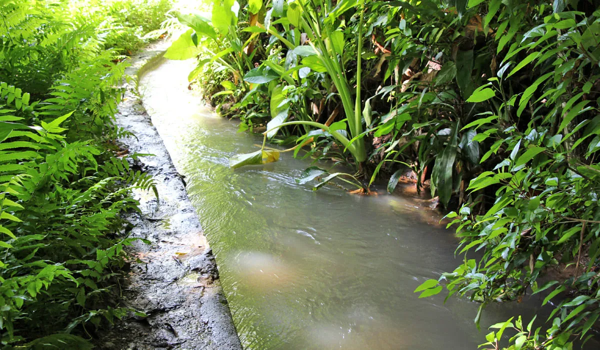
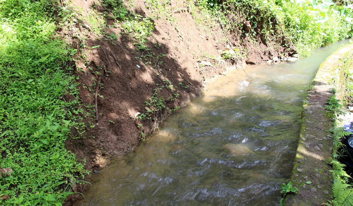
If you're a keen hiker, Anse Lévrier is the place for you, as it's only accessible after a walk through the abundant nature of the north of the island. Grab your walking shoes (especially not white ones, as you'll have to wade through mud and small fords to reach it), head for Anse Couleuvre and off you go.

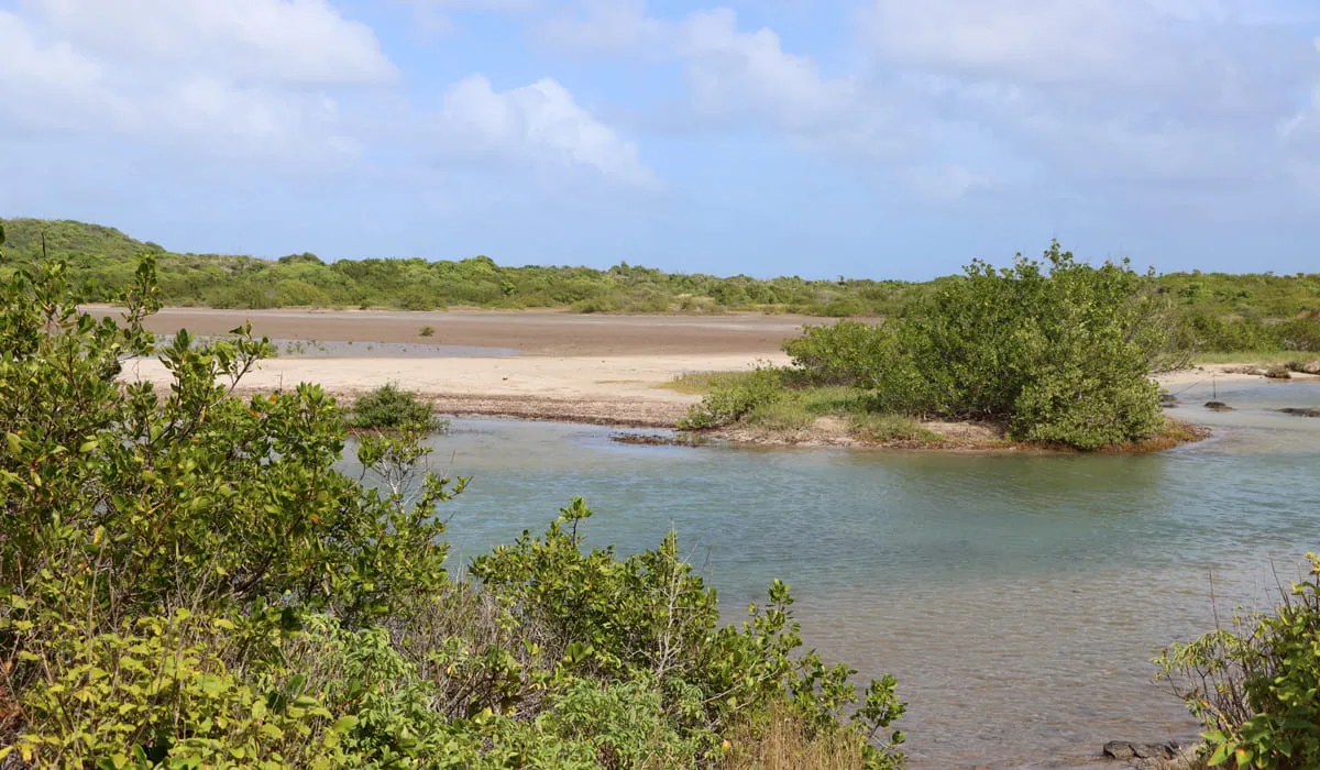
In addition to being a secluded, quiet, and little-known beach, Anse Lévrier boasts the island's darkest sand.

railroad vine (Ipomoea pes-caprae) have made their home here. They're home to many varieties of crabs and hermit crabs, and birds sometimes wander in looking for food, so if you can, avoid walking on them.

Likewise, if you see mygale spiders (matoutou cliff spiders) on your walk to the site, you can touch them and put them on your hand - they're neither dangerous nor poisonous. However, put them back where you found them, as they don't tolerate all climates or habitats.

On your way there, you'll be able to see a superb panorama of the north of Martinique, and if the sky is clear, catch a glimpse of the island of Dominica to the north of Martinique, so remember to take your camera with you. Even if the walk to get there doesn't require an athletic level, access remains difficult for small children.

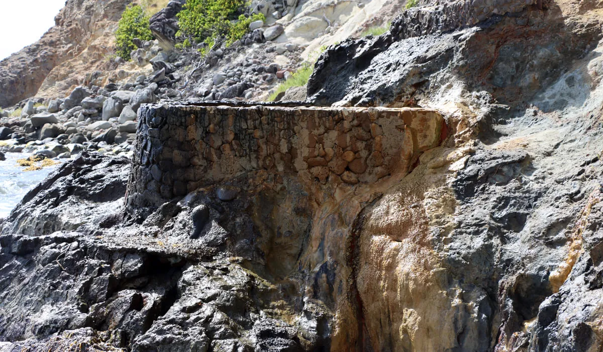
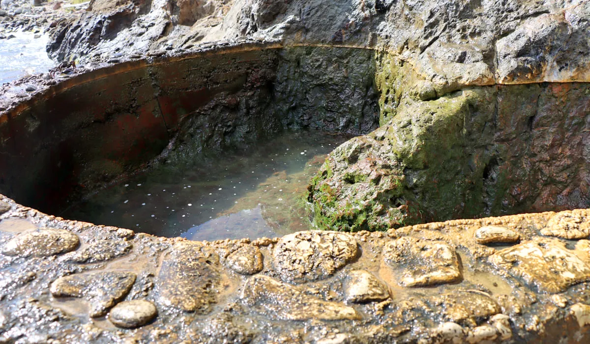
What's more, there's a "hole" in the cliff called a blowhole. We strongly advise against swimming in this hole, as in the event of a strong swell, you could be swept down and drown. So be careful!

To get to L'Anse Lévrier from Fort-de-France, take the N2 towards Saint-Pierre, then the D10 towards Le Prêcheur, and continue on the D10 towards Anse Couleuvre until you reach the beach and its small parking lot. Once there, put on your shoes and set off for a 15-20 minute walk to Anse Lévrier.

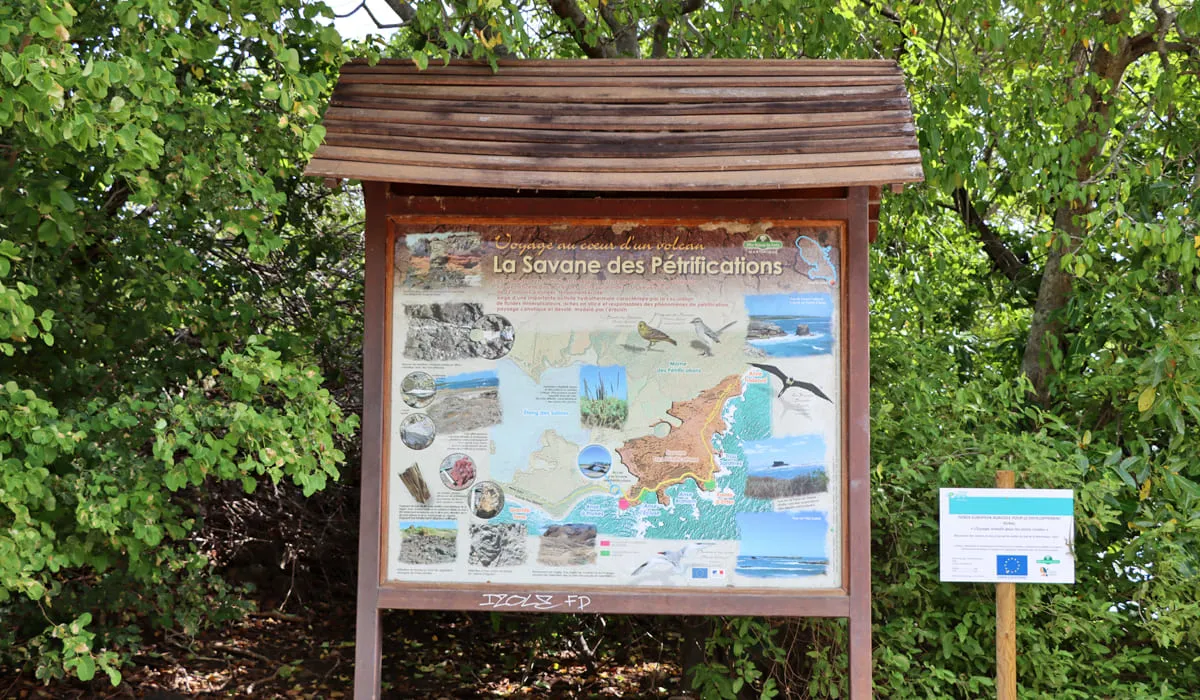
It's worth noting that this beach can also be seen on the "Anses du Prêcheur" tour (boat tour to visit all Le Prêcheur beach).

Dlo Ferré

The Dlo Ferré site is a charming little spot that is little known in Martinique but whose main treasure is its hot springs.

Located at the foot of Morne Jacqueline, several small thermal springs emerge on the rocks facing the sea. The largest has recently been developed by the municipality of Anses d'Arlet and the Office Nationale des Forêts.

The hot spring comes from a reservoir at a temperature of around 180°C. The site is listed as a protected heritage site.

To get there, head for Petite Anse beach in Anses d'Arlet, where you'll need to park your car. Then, either walk along the rocks on the beach on your left or follow the signposted path. Allow an average 15-minute walk to get there.

Bring appropriate footwear if you decide to take the path over the rocks, as they are slippery. Do not take this route with children.

Photo gallery
Dlo Ferré
Dlo Ferré
Panneau d'indication de Dlo Ferré
Plage de Petite Anse et Dlo Ferré
Dlo Ferré
Dlo Ferré
Rochers de Dlo Ferré
Bassin de Dlo Ferré
Bassin de Dlo Ferré

Château Dubuc

Château Dubuc (Dubuc Castle) was once the possession of the Dubuc family, a wealthy lineage from Dieppe in Normandy who settled in the town of Trinité in the mid‑17th century.

In 1657, Pierre Dubuc, a Norman, arrived in Martinique. After leading several successful expeditions against the Carib Indians, he was granted by other settlers a concession in the area of Trinité and Tartane, where he settled in 1671 and built his power.

Balthazar, his younger brother, established himself at the Caravelle on the Spoutourne Plantation. His son, Louis Dubuc du Galion, later built a residence initially called Habitation Caravelle, which eventually became known as Château Dubuc.

The plantation was not only a site of sugar production but also a hub for smuggling and the trafficking of enslaved people. The presence of warehouses, safes, and wharves in this isolated location strongly suggests that illicit trade was carried out there.

By 1770, the Château Dubuc was gradually abandoned, following the devastating cyclone of 1766 and the mismanagement caused by the Dubuc family’s involvement in various battles against the English.

Today, the castle lies in ruins and forms part of the nature reserve managed by the Parc Naturel Régional de la Martinique. It is a secure site and has been listed as a historical monument since 1991. Château Dubuc ranks among the three most visited sites in Martinique. In addition to the ruins, a micro‑museum recounts the troubled history of this place.

Photo gallery
Ruins of Dubuc Castle
Sign of Dubuc Castle